Maps of the Persian Empire (Click on the maps to enlarge)
(Starting from left to right)
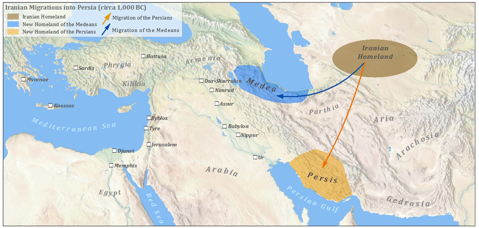
1. This map is of the area of the world that would eventually become the Persian Empire. It shows migration patterns around 1000BC. (http://ancienthistory.about.com/od/geography/ig/Maps-of-Ancient-Greece/Persian-Empire-Map.--lv.htm)
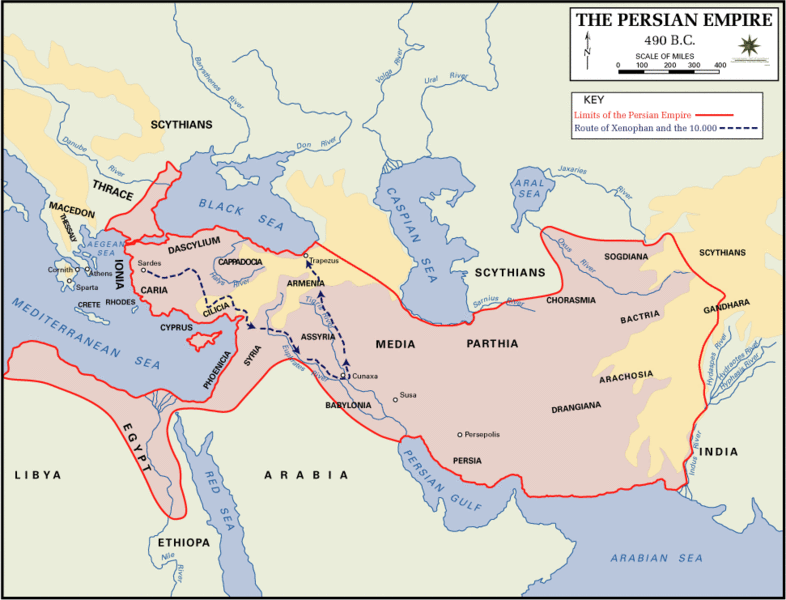
2. This map shows the range of the Persian Empire in 490 BC. (http://ancienthistory.about.com/od/geography/ig/Maps-of-Ancient-Greece/Persian-Empire-Map.--lv.htm)
3. The Achaemenid Empire under Cyrus the Great around 530BC. (http://www.memrise.com/item/2132080/cyrus-the-great-imghttpuploadwikimediaorgwikipedia/)
(Starting from left to right)
1. This map is of the area of the world that would eventually become the Persian Empire. It shows migration patterns around 1000BC. (http://ancienthistory.about.com/od/geography/ig/Maps-of-Ancient-Greece/Persian-Empire-Map.--lv.htm)
2. This map shows the range of the Persian Empire in 490 BC. (http://ancienthistory.about.com/od/geography/ig/Maps-of-Ancient-Greece/Persian-Empire-Map.--lv.htm)
3. The Achaemenid Empire under Cyrus the Great around 530BC. (http://www.memrise.com/item/2132080/cyrus-the-great-imghttpuploadwikimediaorgwikipedia/)